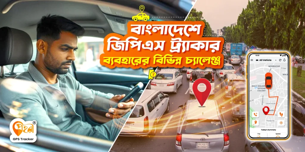
বাংলাদেশ তার ব্যস্ত রাস্তাগুলোর জন্য বেশ পরিচিত। এসব রাস্তা জুড়ে থাকে অসংখ্য প্রাণ ও গাড়ির সীমাহীন গতি। আবার ঢাকা শহরের গলির মতো রাস্তাযগুলোতে চলাফেরা করাটা বেশ চ্যালেঞ্জিং একটা ব্যাপার। আপনার জিপিএস ডিভাইস প্রায়ই আপনাকে গোলক ধাঁধাঁতে ফেলে দিতে পারে। এই শহরে একটি লজিস্টক কোম্পানি পন্য সময়মতো ডেলিভারি দিতে রীতিমতো সংগ্রাম করে যাচ্ছে। গ্লোবাল ন্যাভিগেশন সিস্টেম আমাদের গ্রামের দিকের রুট বা রাস্তাগুলো এখনও সম্পূর্ণভাবে যাচাই বা শনাক্ত করতে অক্ষম।
গ্লোবাল পজিশনিং সিস্টেম (GPS) ন্যাভিগেশন এবং যানবাহন পরিচালনার দিকে পরিবর্তন ব্যাপক পরিবর্তন এনেছে । GPS ডিভাইস এবং ন্যাভিগেশন সিস্টেমগুলো মানুষকে নিজের অবস্থান এবং পথের দিকনির্দেশনা প্রদান করে সাহায্য করে আসছে। এই প্রযুক্তিটি বিভিন্ন খাতের পরিচালনার ব্যয়ের উন্নতি, উৎপাদনশীলতা বৃদ্ধি, কার্যক্ষমতা বাড়ানো, এবং লাভ বৃদ্ধিতে ব্যাপকভাবে সহায়তা করছে।
বাংলাদেশে জিপিএস প্রযুক্তি অবকাঠামোগত, ভৌগলিক, এবং আর্থ-সামাজিক বিষয়গুলোর সাথে সম্পর্কিত বিভিন্ন চ্যালেঞ্জের মুখোমুখি হচ্ছে।
তবে, প্রহরী, একটি স্থানীয় জিপিএস ট্র্যাকিং সেবা, এই পরিসরটি পরিবর্তন করে আসছে। এটি কিছু নির্দিষ্ট চ্যালেঞ্জের জন্য সময় উপযোগী সমাধান প্রদান করে। প্রহরী এই অঞ্চলের বিশেষ চ্যালেঞ্জগুলোর জন্য তৈরি করা হয়েছে। এটি ব্যবহারকারীদের এবং ব্যবসায়ীদের জন্য সঠিক নেভিগেশন, নিশ্চিন্ত নিরাপত্তা এবং নির্বিঘ্ন ট্র্যাকিং সেবা নিশ্চিত করে।
এই ব্লগটি আমরা বাংলাদেশে জিপিএস ব্যবহারের চ্যালেঞ্জগুলোকে যাচাই করবো। আমরা জানবো কিভাবে প্রহরী স্থানীয়, সময় উপযোগী সমস্যার সমাধানের করে থাকে। এই বিষয়গুলো জিপিএস সেবাকে আরও নির্ভরযোগ্য, কার্যকর এবং ব্যবহারযোগ্য করে তোলে।
বাংলাদেশে জিপিএস ব্যবহারের চ্যালেঞ্জ
- পুরনো বা অসম্পূর্ণ ম্যাপ: বাংলাদেশে অনেক গ্রামীণ জনপদ এবং শহুরে এলাকা ম্যাপের অধিভুক্ত নেই অনেক সময় গ্লোবাল ম্যাপ, যেমন গুগল ম্যাপে ভুলভাবে উপস্থাপন করা হয়। সংকীর্ণ রাস্তা, নামহীন পথ, এবং প্রায়ই ঠিকানার সাথে ভুল সঙ্গতিহীন নেভিগেশনের দেওয়া থাকে। যা একটি চ্যালেঞ্জ হিসেবে করে। ডেলিভারি সেবা প্রতিষ্ঠানগুলো প্রায়ই সঠিক ঠিকানা খুঁজে পেতে সমস্যার সম্মুখীন হয়। এটি ভুল তথ্য দিয়ে দেরি করে এবং প্রতিষ্ঠানকে বাড়তি খরচদিকে নিয়ে যায়। ভুল রুট প্ল্যানিং গাড়ির ড্রাইভারদের সময় এবং সম্পদ অপচয় করে। এই ধরনের সমস্যা পুরনো বা অসম্পূর্ণ ম্যাপের ডাটা থেকে উদ্ভুত হতে পারে।
- শহর এবং দূরবর্তী অঞ্চলে নিম্ন মানের ফ্রিকুয়েন্সি: ঢাকা এবং চট্টগ্রামের মতো শহরগুলোতে ঘন শহুরে অবকাঠামো বিদ্যমান, যা জিপিএস এর সংকেতকে দুর্বল করে তুলে। উঁচু ভবন, সংকীর্ণ গলি এবং ভারী যানজট জিপিএসের জন্য বাধা তৈরি করে। অন্যদিকে, দূরবর্তী এলাকাগুলোতে সেলুলার অবকাঠামোও দুর্বল হওয়াতে সংকেত প্রায়ই হারিয়ে যায়। এর ফলে, ব্যবহারকারীরা জিপিএসের উপর নির্ভর করতে সমস্যার সম্মুখীন হন।
- ট্রাফিকের ঘনত্ব: ঢাকা বিশ্বের অন্যতম সবচেয়ে ঘন ট্রাফিক পূর্ণ শহর। ঘন জনবসতিপূর্ণ শহর ঢাকায় জিপিএস ব্যবহার করে রুট পরিকল্পনা করা বেশ কঠিন। রিয়েল-টাইম ট্রাফিক ডেটার অভাব প্রায়ই অকার্যকর রুট এবং ভুল ডাটার দিকে নিয়ে যায়।
- পরিবেশগত এবং আবহাওয়া বিষয়: বাংলাদেশে বৈচিত্র্যময় আবহাওয়া রয়েছে। এর মধ্যে ভারী বর্ষার মৌসুম এবং ঘন শীতল কুয়াশা অন্তর্ভুক্ত রয়েছে। এই সময়গুলোতে জিপিএস ট্র্যাকারে বিভিন্ন ধরনের ধরনের সমস্যা দেখা দেয়। ডাটা আটকে যাওয়া কিংবা ফ্রিকুয়েন্সি ইস্যু এসব আবহাওয়া এবং পরিবেশগত সমস্যার কারণে হয়ে থাকে
প্রহরী কিভাবে এই চ্যালেঞ্জগুলো সমাধান করে?
- লোকাল ম্যাপিং: প্রহরী অপরিচিত বা অযাচিত অবস্থানগুলি মোকাবেলা করতে স্থানীয় মানচিত্রণ প্রযুক্তি ব্যবহার করে। এটি ট্র্যাকিংকে পরবর্তী স্তরে নিয়ে যায়, কঠোর ভূখণ্ডে সঠিক নেভিগেশনের জন্য বিস্তারিত, বাংলাদেশ-নির্দিষ্ট তথ্য ব্যবহার করে।
- প্রহরী উন্নত হার্ডওয়্যার ব্যবহার করে: এটি বাংলাদেশের অনন্য পরিবেশের জন্য অপটিমাইজ করা হয়েছে। এর ডিভাইজগুলি দুর্বল সিগনালও সংযোগ বজায় রাখতে সক্ষম। সিস্টেমটি রিয়েল-টাইম অবস্থান আপডেট সরবরাহ করে, সংযোগ সমস্যার কারণে হওয়া বিলম্ব কমিয়ে দেয়।
- ট্রাফিক বিশ্লেষণ এবং রুট অপ্টিমাইজেশন: প্রহরী তার প্ল্যাটফর্মে রিয়েল-টাইম ট্রাফিক ডেটা ব্যবহার করে। এটি ব্যবহারকারীদের বাংলাদেশের যানজটপূর্ণ রাস্তাগুলোর মধ্যে আরও দক্ষতার সঙ্গে চলাচল করতে সহায়তা করে।
- ডায়নামিক রাউটিং: প্ল্যাটফর্মটি লাইভ ট্রাফিকের ভিত্তিতে রুট প্রস্তাব করে। এটি সময় ও জ্বালানি সাশ্রয় করে।
- ফ্লিট অপ্টিমাইজেশন: প্রহরী ব্যবহারকারীরা পিক ট্রাফিক এড়াতে ডেলিভারি সময়সূচী নির্ধারণ করতে পারেন। এটি দক্ষতা বৃদ্ধি করে।
- উন্নত নিরাপত্তা ফিচার: প্রহরী স্থানীয় চাহিদা অনুযায়ী উন্নত নিরাপত্তা ফিচারের মাধ্যমে গাড়ির সুরক্ষা বাড়ায়।
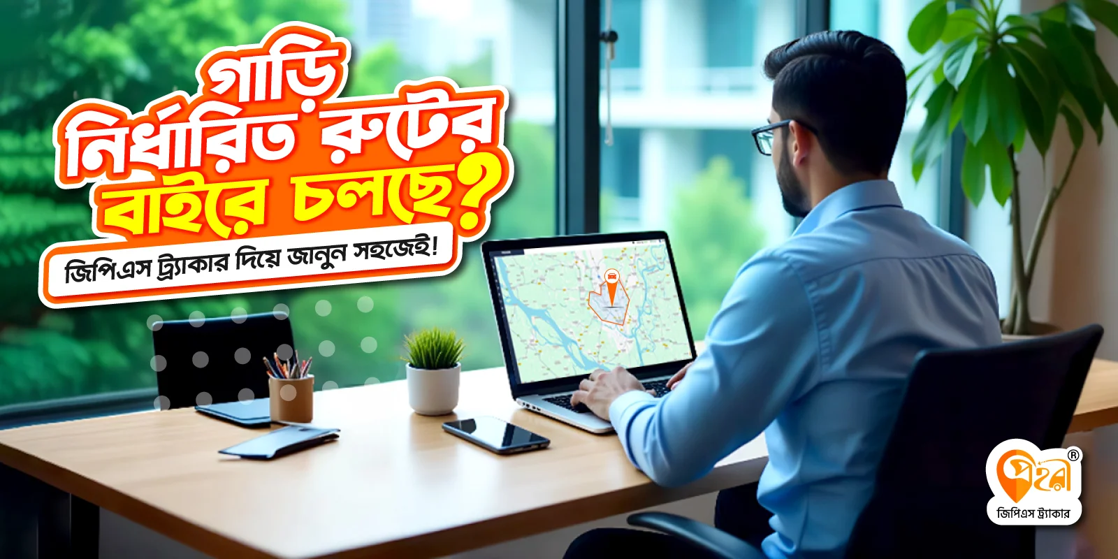
- জিও-ফেন্সিং: ব্যবহারকারীরা তাদের যানবাহনের জন্য ভার্চুয়াল সীমানা নির্ধারণ করতে পারেন। এই সীমানা অতিক্রম করলে তারা সতর্কবার্তা পান।
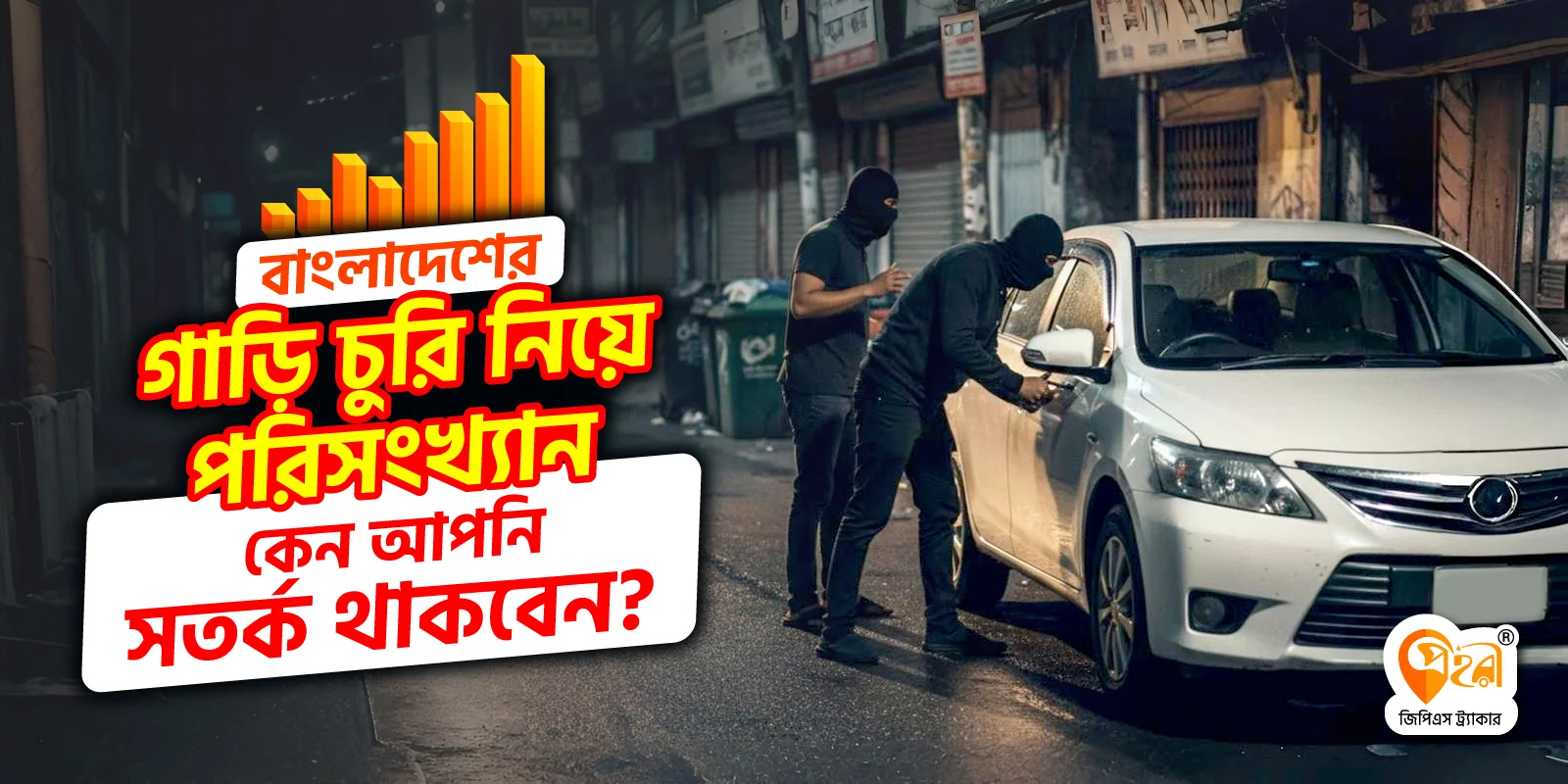
- অ্যান্টি-থেফট অ্যালার্ম: অনুমতি ছাড়া গাড়ি চললে প্রহরী তাৎক্ষণিক নোটিফিকেশন পাঠায়।
- লাইভ ট্র্যাকিং: যানবাহন মালিকরা তাদের গাড়ি রিয়েল টাইমে ট্র্যাক করতে পারেন। এটি চুরি বা অপব্যবহারের ঝুঁকি কমায়।
- সাশ্রয়ী মূল্য নির্ধারণ: প্রহরী প্রতিযোগিতামূলক দামে, স্থানীয়ভাবে তৈরি জিপিএস ডিভাইস সরবরাহ করে। এটি ব্যবসা এবং ব্যক্তিগত ব্যবহারকারীদের জন্য প্রযুক্তিটি প্রবেশযোগ্য করে তোলে।
- গোপন মূল্য নেই: প্রহরী বিভিন্ন সহজ সাবস্ক্রিপশন মডেল তৈরী করেছে যা আপনার গাড়ির চাহিদা অনুসারে বিভিন্ন ট্র্যাকিং সেবা দিতে সক্ষম। এখান অপ্রত্যাশিত কোন খরচের ঝুঁকি নেই।
- কাস্টমাইজেবল প্যাকেজ: প্রহরী সব ধরনের ইউজার ফ্রেন্ডলি বাজেট প্যাকেজ প্রদান করে। এসব প্যাকেজ একজন যানবাহনের মালিক থেকে শুরু করে বৃহৎ পরিবহন সংস্থার জন্য বেশ উপযুক্ত।
- স্থানীয় চাহিদার জন্য কাস্টমাইজড: প্রহরী বাংলাদেশে অনন্য চ্যালেঞ্জগুলির দিকে নজর দেয়, এমন সমাধান প্রদান করে যা বৈশ্বিক প্রতিযোগীরা প্রায়শই উপেক্ষা করে।
- লোকাল সাপোর্ট: প্রহরীর জিপিএস ট্র্যাকার স্থানীয় ঠিকানার মানুষজনের জন্য নির্বিঘ্নে কাজ করে।
- ফ্লিট ম্যানেজমেন্ট: প্রতিষ্ঠানগুলো একটি আধুনিক ড্যাশবোর্ডের মাধ্যমে একাধিক যানবাহনের কার্যক্রম সহজেই ট্র্যাক করতে পারে। এই ড্যাশবোর্ডটি ব্যবহার করে তারা প্রতিটি যানবাহনের গতিবিধি নিরীক্ষণ, রুট পর্যবেক্ষণ এবং জ্বালানির ব্যবহার বিশ্লেষণ করতে সক্ষম। তদুপরি, এটি যানবাহনের কর্মক্ষমতা পর্যালোচনা এবং অপচয় হ্রাস করার জন্য বিশদ তথ্য প্রদান করে। ফলে, প্রতিষ্ঠানগুলি তাদের লজিস্টিক কার্যক্রম আরও দক্ষ এবং অর্থনৈতিকভাবে লাভজনক করতে পারে।
প্রহরীর রিয়েল লাইফ এপ্লিকেশন
ই-কমার্স এবং ডেলিভারি পরিষেবা
প্রহরীর ট্র্যাকিং এবং রুট অপ্টিমাইজেশন সেবা স্থানীয় ই-কমার্স প্রতিষ্ঠানের জন্য বিশেষ সহায়ক হয়েছে। এটি ডেলিভারি সময় এবং খরচ উল্লেখযোগ্যভাবে কমিয়েছে। উদাহরণস্বরূপ, লজিস্টিক্স বিভাগ আরও দক্ষ রুট পরিকল্পনা করতে সক্ষম হয়েছে, যা জনবহুল শহুরে এলাকায়ও দেরি প্রতিরোধ করে।
পাবলিক ট্রান্সপোর্ট ব্যবস্থাপনা
প্রহরী বাস এবং রাইডশেয়ার যানবাহনগুলোর কার্যক্রম পর্যবেক্ষণ করে। এটি নিরাপত্তা এবং দক্ষতা বাড়ায়। জিও-ফেন্সিং এবং রিয়েল-টাইম ট্র্যাকিং প্রযুক্তির মাধ্যমে প্রতিষ্ঠানগুলো তাদের বহরের কার্যক্রম নিয়ন্ত্রণে রাখতে সক্ষম হয়।
ব্যক্তিগত যানবাহনের নিরাপত্তা
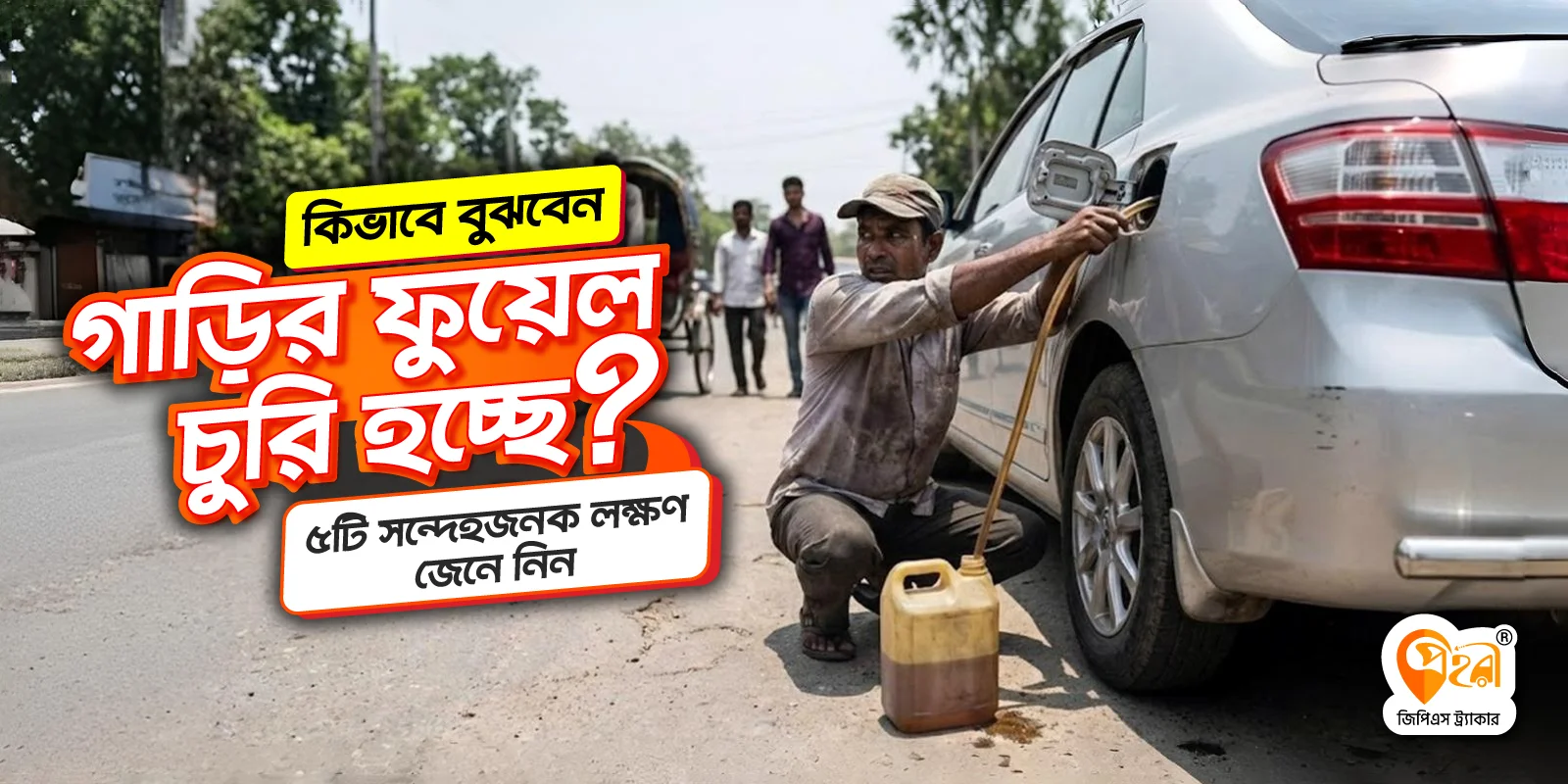
বাংলাদেশে গাড়ির মালিকরা তাদের যানবাহন সুরক্ষায় প্রহরীর অ্যালার্ম এবং ট্র্যাকিং সিস্টেমের উপর নির্ভর করেন। প্রহরী সিস্টেম অনেক চুরির ঘটনা রোধ করতে সক্ষম হয়েছে, কারণ এটি কোনো সন্দেহজনক কার্যকলাপ ঘটলেই মালিককে সঙ্গে সঙ্গে জানিয়ে দেয়।
কেন প্রহরী নির্বাচন করবেন?
প্রহরী শুধু একটি জিপিএস ট্র্যাকিং সিস্টেম নয়। এটি বাংলাদেশের নেভিগেশন ও পরিচালনার চ্যালেঞ্জগুলোর একটি সমাধান। ম্যাপিং, নিরাপত্তা এবং খরচ নিয়ন্ত্রণ ইত্যাদি প্রতিটি সমস্যা প্রহরী সমাধান করে। উন্নত প্রযুক্তি আর স্থানীয় চাহিদা বুঝে, প্রহরী নেভিগেশন, কাজের গতি আর নিরাপত্তা বাড়ায়। এটা আপনার ট্রান্সপোর্ট বিজনেসের জন্য একটি সেরা ট্র্যাকিং সমাধান।
উপসংহার
বাংলাদেশে রোড এবং ট্র্যান্সপোর্ট নেভিগেশনের জন্য জিপিএস প্রযুক্তি অত্যন্ত গুরুত্বপূর্ণ ভূমিকা পাল করে, কিন্তু দিনে দিনে এটি বিভিন্ন চ্যালেঞ্জের সম্মুখীন হয়। এই সমস্যাগুলো সমাধানে প্রহরী সুনির্দিষ্ট এবং স্থানীয় প্রয়োজন অনুযারে কাজ করে যাচ্ছে। উন্নত প্রযুক্তি ও স্থানীয় চাহিদার সমন্বয়ে প্রহরী নিশ্চিত করে নির্ভুল লোকেশন ট্র্যাকিং, নিরবচ্ছিন্ন সংযোগ এবং নির্ভরযোগ্য ট্র্যাকিং সুবিধা। আজই প্রহরীতে সংগ্রহ করুন এবং দেশের যেকোন স্থানে নির্বিচ্ছন্ন বিশেষ জিপিএস ট্র্যাকিং সুবিধা উপভোগ করুন।


